
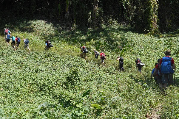
The Kokoda Track, PNG

The Kokoda Track is one of the many walking tracks in Papua New Guinea that existed long before the Europeans arrived. It was used for trade and cultural interaction between tribes and is still used for these purposes today. However, it came to fame and prominence during World War II as the route that many a wounded and worn Allied soldier was led or even carried over by the "Fuzzy Wuzzy Angels", the native Papuans.
ROUTE
Starting in the north of the country at a village called Kokoda, the track winds up and down over the rugged Owen Stanley Ranges and finishes in the South at Ower's Corner. It can also be done in reverse.
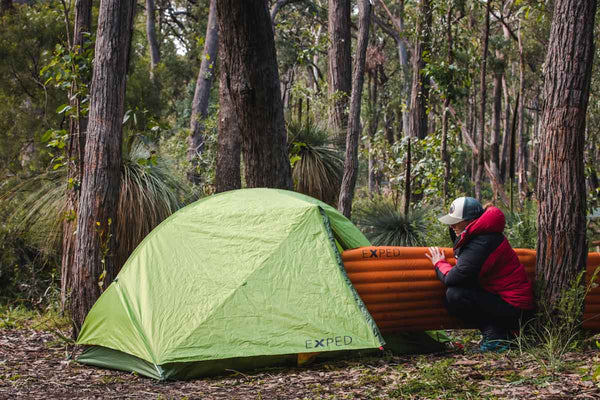
ACCOMMODATION
Camping or guest houses are the options here, the latter being a simple thatched shelter with a bamboo floor. For campers, all equipment must be taken, either self-carried or by porter.
HIGHLIGHTS
Beautiful Owen-Stanley Range scenery, war memorabilia, the local peoples' culture, retracing the steps of the diggers, dense jungle, horrendous mud, Mt. Bellamy, Bomana War Cemetary.
GUIDE BOOK
Bill James' Field Guide to the Kokoda Track is the definitive guide.
WHEN TO GO
Many Australians choose to hike between March and April for evocative, commemorative reasons (coinciding with ANZAC day); but those less inclined towards the damp will choose to go between July and September to hit the driest weather.
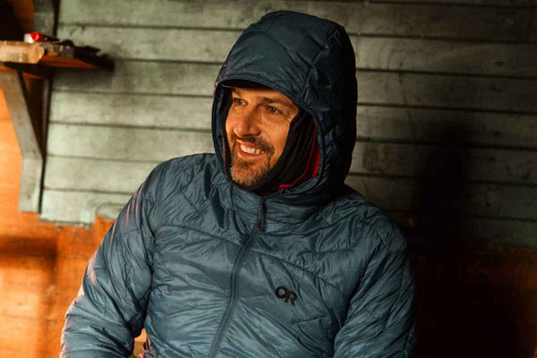
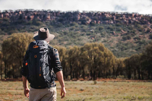
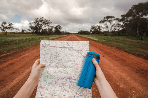
GEAR
For a list of products that will help you survive the trek, check our gear list. Or to see the links to the actual products, look at our Kokoda Track Collection. Need more advice? See which of our staff have been there on the Where Are You Going? page.
